Maps - Mary & Michael Lines
Author
Penwith Press
Book Title
Maps - Mary & Michael Lines
Description
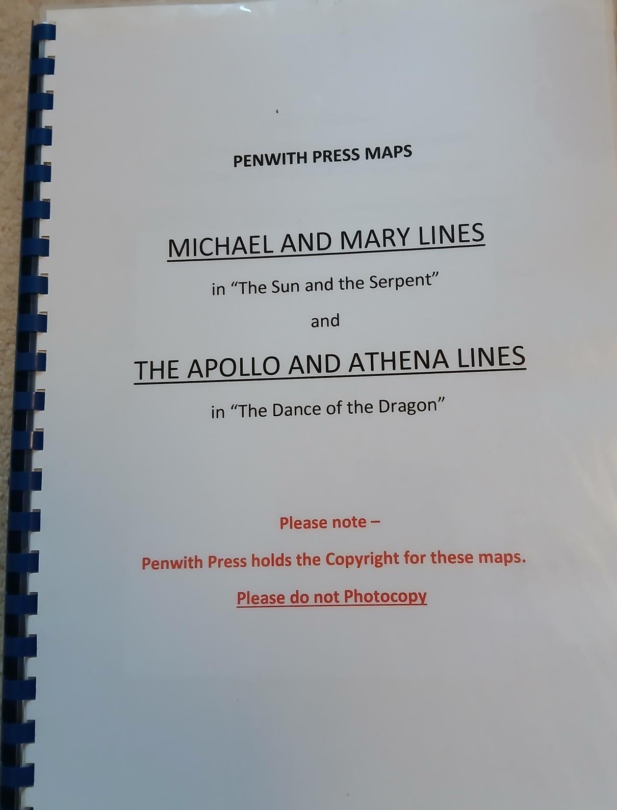
The set of 53 maps from Carn Les Boel near lands End in Cornwall to Hopton in Norfolk. These are based on the 1988 Ordnance Survey maps and plot the extraordinary research undertaken by Hamish Miller and Paul Broadhurst as they followed the path of the Michael and Mary currents across southern England. The St. Michael straight alignment aligns to mayday sunrise.
The researchers' findings culminated in the dowsing classic, "The Sun and the Serpent".